
Search a Haverford Township Street
A Haverford Township street search is an address and parcel workflow. Delaware County's assessment record can identify the parcel attached to an address and show its current owner display, mailing field, property location, map link, and sale clues. It does not create a list of everyone living on the street. The Recorder then documents recorded parties and land transfers, while historical directories can offer an occupant lead for one published year. Keep those roles separate when tracing a block.
- Open the Delaware County property address search and locate the house or run a street-only result set.
- Open the exact parcel card. Record the Parcel ID, TaxMap ID, situs location, legal-description cue, owner and mailing fields before comparing other lots.
- Use the Map tab to view the street segment and identify the parcels that actually touch or lie within a documented buffer.
- Carry the Parcel ID, book/page clue, and legal-description terms to the Recorder's index. Treat grantor and grantee names as parties to a recording, not a current household list.
- For a dated occupant lead, consult historical reverse or criss-cross directories and pair the entry with the ownership chain and census-era evidence.
That sequence lets a street directory distinguish a property record from a person record. It also leaves a clear log if a street number, mailing address, or recorded owner does not match an everyday assumption.
Haverford Township Address Search Fields
The County's live address form is deliberately narrow. It has optional Number and Street fields, and its instruction is to enter the street name without a suffix. A number plus street narrows the response; a street-only query returns the parcel occurrences on that street. The assessment site removed name search and property photographs for privacy, so an owner name shown in a result is not a field for starting a person search.
| County control | Use on a street search | Important limit |
|---|---|---|
| Number | Optional house number that narrows a street query. | Blank can return multiple parcels. |
| Street | Enter the street name without “St,” “Rd,” or “Ave.” | * is a permitted wildcard, not a household search. |
| Sort by | Parcel ID, TaxMap ID, Owner Name, Property Address, Sales Date, Sales Amount, Land Use Description, or Map. | Owner Name is a result sort only. |
| Results per page | Choose 15, 20, 25, 30, or 50 result rows. | More rows do not add occupant data. |
| Parcel ID mode | Search all or part of the 11-digit identifier without hyphens. | It is an alternate parcel route, not a name field. |
Use the result card as a pointer to the next custodian. Assessment information is useful for a current parcel and tax context, but a deed is the appropriate record for a recorded title transfer.
Map Haverford Township Parcels by Street
The county map is the practical way to keep a street search tied to actual parcel geometry. Its viewer provides Select, Select and zoom, GIS Identify, Map Contents, a legend, and a buffer panel. A tight buffer can discover nearby parcels, but physical adjacency should be confirmed from the parcel shapes before calling a lot part of the same immediate street segment.
The County's official parcel layer shows the map service behind that parcel context.
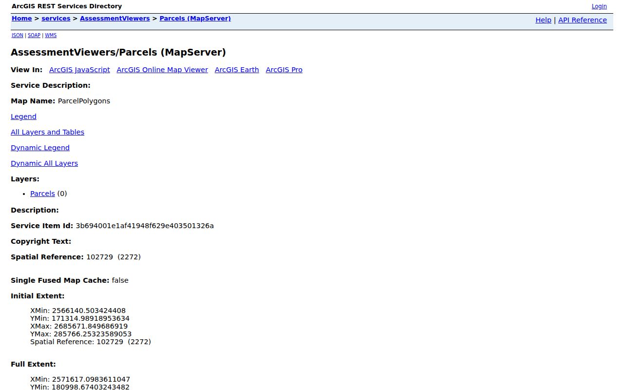
Use the map result to return to each source card, where the site address, legal-description context, owner and mailing fields can be read in the correct parcel record.
Haverford Township Deeds by Address
For a recorded change along a Haverford Township street, the Parcel ID is the bridge between the tax system and the Recorder. The Recorder recommends locating that identifier first. Its real-property custody reaches back to 1789, and the County says copies from 1799 to the present are online through CountyFusion Online Records and GovOS Cloud Search. The distinction matters: an older historical holding is not a promise that every early document has the same online image or text search.
In Cloud Search, a Parcel ID is entered in dashed form. Search grantee for an acquisition and grantor for a later disposition, then use recorded or instrument dates, document type, book/page, municipality, or the prior-deed recital to refine the trail. Record the document number, dates, parties, and legal-description clue. A deed records a transfer of an interest, not a complete occupancy history.
The Recorder's Cloud Search is the current county route for the index and document workflow.
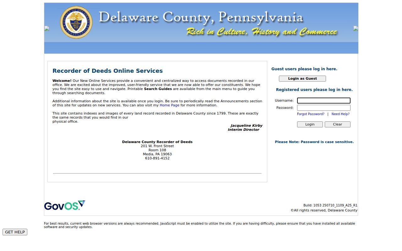
Its search screen supports a defensible trail when the parcel and document details are logged instead of relying on a surname alone.
Note: The Recorder offers recorded-document access, not legal advice or a substitute for a professional title decision.
Haverford Township Street Permit Evidence
Building and Codes records can add a built-environment date to an address trail. The Township's Building & Codes Department handles construction permits, land-use enforcement, contractor licensing, and inspections. The Citizens Permit Portal has a known-application route, not an open street browser: it requires a selected Parcel Address and a Reference ID. Its new-application route displays a Parcel Address and Tax Pin.
That limitation is important. An online no-result does not mean there was no earlier work, permit, or code file. For older or offline material, use a focused address-and-date request through the Township rather than treating an application interface as an archive. A permit may document an alteration, applicant, or owner in a particular government record, but it does not identify all people associated with the property.
The Township's permit and code entry point shows the address-based channels available today.

Bring the parcel address and any known reference number to that workflow, then request only the precise older record that is needed.
Haverford Township Street Directory Sources
Records connected to a street have different keepers and different proof value. The following Haverford Township street directory sources are useful in sequence, not as interchangeable lists. Preserve the Parcel ID and the date checked as the trail moves from an address result to a map, deed, or dated historical source.
| Address record | Custodian | What it can establish | Access path |
|---|---|---|---|
| Assessment and tax card | Delaware County Board of Assessment | Parcel, situs, mailing field, owner display, map, and assessment context. | Online address form; Board and Treasurer routes. |
| Parcel map | County GIS / assessment map | Mapped lot context and neighboring parcel geometry. | Map tab, select, identify, or buffer tools. |
| Recorded instruments | Delaware County Recorder of Deeds | Grantor/grantee, dates, document type, plans, mortgages, and releases. | Cloud Search, CountyFusion, or Recorder counter. |
| Street List | Pennsylvania election authorities | Regulated voter registration fields organized by street and house number. | State form, ID, written statement, and election-law limits. |
| Permit or code file | Haverford Township Building & Codes | Known application or address-specific work evidence. | Known permit route or narrow records request. |
For a full current-property chain, this sequence is stronger than treating a general name result as an address confirmation. The systems each have an access route when the online screen is not enough.
Older Haverford Township Street Listings
Historical occupancy is a different layer. The County Heritage Commission's Hidden Histories handout gives an address-first directory method: leave name fields blank, select Delaware County as the place lived, enter a house number plus street in Keyword, and add a residence year when known. That is a practical lead, not proof that every Haverford household appeared in every directory.
The local directory run is specific: the Haverford Township Chamber of Commerce issued editions in 1934, 1935, 1936-1937, 1938, 1939, 1940, and 1942; the Historical Society also identifies the League of Women Voters' 1962 This Is Haverford Township. For the holdings and the way a dated entry should be read, use the Haverford Township city directories rather than assuming an address line is continuous through time.
Historic map and plan evidence can test whether a dwelling, lot, or street layout existed in the relevant period. Where an old address misses, compare the legal description and plan before guessing that an address was renumbered. No verified Township-wide renumbering date was located.
Haverford Township Parcel Alerts
For a present owner who wants notice of a new recording, the Recorder's Public Access Sites page describes a free Property Alert through GovOS Cloud Search. The alert uses a Property ID and emails when a document is recorded under the enrolled criteria. It is useful after an address has been matched to the correct parcel, because the Parcel ID is less ambiguous than a street-name search.
Property Alert does not freeze a record, establish title, or prove that an unfamiliar recording is fraudulent. Review the identified document with the Recorder and keep the parcel and document reference together. GovOS Cloud Search soft-launched in 2024 as a second Recorder route, so a researcher with an older CountyFusion experience may encounter a different screen and online certification option.
Pennsylvania Voter Street Lists
Pennsylvania's personal voter-registration status tool is for an individual inquiry. It is not a street browser. The election-law route for street-level registration information is a separate Public Information List, Street List, Walking List, or full-export request. The Street List is arranged by street and house number and includes name, residential and mailing address, party, and active or inactive status.
Those lists are regulated. Under 25 Pa.C.S. §§ 1403 and 1404, and the request form's affirmation, the requester provides identification and states that the information will not be used for unrelated purposes. The state form also bars Internet publication. A registration entry is civic evidence only. It does not establish that every adult at an address is registered, currently present, or an owner, and it does not reveal ballot choices.
Haverford Township Address Terms
Clear terms prevent a street record from being overstated. The property card and the Recorder use related but nonidentical descriptions of the same location.
- Parcel
- A county-assessment unit of land identified by a Parcel ID and mapped for property administration.
- Situs address
- The physical property location on the assessment record. It can differ from the owner's tax-mailing address.
- Legal description
- The land description used in a deed or plan. It may not look like the everyday street address.
- Criss-cross directory
- A dated reverse directory that starts with an address and supplies an occupant lead for that edition.
A homestead flag, mailing field, or directory line can be useful context, but none should be stated as conclusive proof of a current household without a source that actually records that fact.
Haverford Township Street Directory Limits
A street directory can show parcels, recorded parties, and a narrowly regulated civic record. It cannot reveal a complete household. Renters and other household members are not turned into a public address roster; utility and delivery customer data are not public street records; and driver or vehicle information is controlled by the Driver's Privacy Protection Act and Pennsylvania law. A current owner mailing address may be somewhere other than the property itself.
Pennsylvania also protects confidential court information and Address Confidentiality Program participants. The ACP gives eligible survivors of domestic violence, sexual assault, stalking, human trafficking, or child abduction a substitute address in participating government systems. A missing or masked address can reflect an appropriate legal protection, not an error to work around.
Lawful use. Use Haverford Township address records for a personal, lawful question and respect each custodian's limits. Never use a street record to stalk, harass, intimidate, or harm another person.