
Haverford Township Neighbors by Parcel
Public records can form a limited block picture around a Haverford Township address. The County map and property card show parcels and owner or mailing fields. The Recorder shows documented transfers and plan clues. A regulated voter list can be arranged by street and house number under election-law controls. Historical reverse directories may show a published address-to-occupant lead for a particular year. None of these sources proves every person who lives near an address.
| Source | What It Shows About a Block | Access |
|---|---|---|
| County GIS and property cards | Subject and nearby parcels, site address, map context, owner and mailing fields, property type, and legal-description context. | Assessment search and Map tab, using identify or a documented buffer. |
| Recorder deeds and plans | Recorded parties, transfer dates, documents, plan relationships, and legal-description leads. | Cloud Search, CountyFusion, or Recorder counter. |
| PA Street List or Walking List | Regulated voter-registration fields organized by residence location. | State request form, identification, and written lawful-use statement. |
| Historic criss-cross directories | Published household lead for a dated edition. | Local history collections and library channels. |
| Civic organization contacts | Public neighborhood association and community contact paths. | Organization's published membership or contact page. |
Owners and occupants are different roles. The County property card may show a current owner and a tax-mailing destination that is elsewhere. A parcel result should never be presented as a complete list of neighbors.
Select Haverford Township Parcels
Begin at the Delaware County property address search with the exact subject address. The result supplies the Parcel ID, TaxMap ID, property location, municipality, legal-description cues, owner and mailing fields, and Map tab. The map workflow is more precise than assuming that an entire ZIP or a similarly named road belongs to the same block.
- Open the subject parcel's Map tab and record the Parcel ID, map date or source, and the setting used to find surrounding lots.
- Use Select, Select and zoom, or GIS Identify to click parcels that touch the subject geometry. Keep only parcels that the map actually supports.
- If a buffer is needed, enter a small documented distance, choose Feet or Meters and Center Points or Polygons, then use Select By Buffer.
- Open each returned property card and log site address, mailing field, owner display, property type, and legal-description context separately.
- Use Recorder records only to test a documented ownership change or plan connection, then retain the document details with the parcel note.
The GIS viewer's buffer accepts a distance from 0 to 1000 and provides a clear-buffer control. A buffer can include a near lot that does not touch the subject parcel, so geometry remains the final adjacency check.
Map Evidence for Haverford Township Neighbors
The County viewer includes Zoom, Pan, Full extent, Back, Forward, selection display, Measure distance, Print or Download, Map Contents, Layers, and Legend controls. Record the layer and settings before interpreting an edge or a boundary. Map evidence is a practical check on the immediate block, but it is not a survey and it does not establish legal title on its own.
The County's official parcel layer is the source for the mapped parcel context.
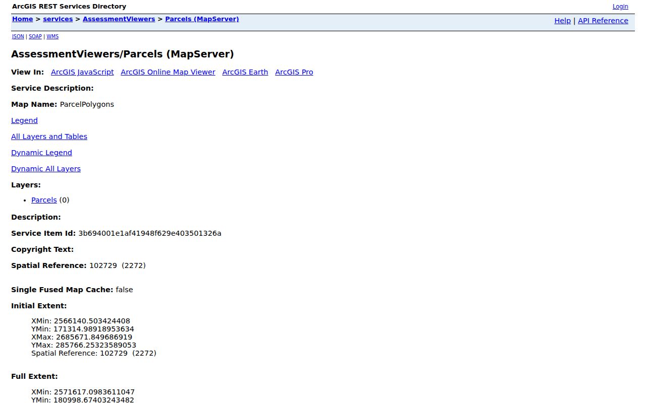
Returning from the map to the individual property card preserves the link between a selected shape and the parcel facts that the County actually displays.
Haverford Township Block Owners and Households
A property card separates a physical situs address from the owner's mailing address. It may also show assessment, land-use, tax-sale, map, homestead, and veteran-status fields. Those fields describe the County assessment record. They do not prove that an owner occupies the property, that an address has a particular household composition, or that the person receiving tax mail is physically present there.
The County removed owner-name search and property photographs from its assessment service to preserve privacy and security. That design sets a useful limit for block work: start from the address and parcel already known, and do not expand a single parcel result into an unbounded person search. Renters, delivery customers, utility customers, and other household members do not appear as a public parcel roster.
- Parcel
- A County assessment unit of land with a Parcel ID and mapped geometry.
- Situs
- The physical location of the parcel, which can differ from a mailing address.
- Buffer
- A map selection area around a chosen feature, useful for discovery but not proof of touching geometry.
- Recorded owner
- A person or entity identified in a property or land-record context, not automatically a current occupant.
Recorded Transfers Near Haverford Township
Once a nearby parcel has a Parcel ID and property context, check the Delaware County Recorder Cloud Search for the particular recorded trail. Cloud Search accepts a dashed Parcel ID, party names, recorded or instrument date ranges, document types, book/page, municipality, and text where available. Search grantee for an acquisition and grantor for a disposition. A current deed's prior-deed recital can guide the next older record.
The Recorder's real-property holdings reach back to 1789, while the County describes online copies as 1799 to the present. A deed identifies recording parties and an interest in land. It does not prove uninterrupted occupancy, a current household, or an informal neighbor relationship. For older material, Recorder counter or microfiche access may be needed when an online result is incomplete.
Note: Preserve the document number, type, dates, grantor, grantee, and legal-description cue before comparing two nearby parcel trails.
Pennsylvania Voter Lists Near a Block
The personal Pennsylvania voter-registration status service is not an address browser. For a lawful street-level election record, the separate state request form offers a Public Information List, Street List, Walking List, or full export. The Street List includes name, residential and mailing address, party, and active or inactive status. The Walking List omits mailing address.
Under 25 Pa.C.S. §§ 1403 and 1404, the request process requires identification and a statement that the data will not be used for unrelated purposes. The request form bars Internet publication. Voter registration does not establish that all occupants are registered, that a listed person owns the parcel, or how anyone voted. Protected and confidential addresses are controlled separately.
Haverford Township Civic Contacts
Neighborhood contacts are a separate layer from land or voter records. The independently operated Haverford Township Civic Council membership page lists member civic and neighborhood organizations and a central public contact. It is useful for finding a meeting, group contact, or local organization. It does not publish household membership rosters, and membership should never be inferred from an address.
| Organization layer | Published public contact use | Boundary |
|---|---|---|
| Haverford Township Civic Council | Central contact: PO Box 1072, Haverford, PA 19083; info@haverfordciviccouncil.org. | An umbrella organization, not a resident list. |
| Brynford, Coopertown, Hilltop, Llanerch, and Merwood | Named neighborhood/civic organizations on the Council page. | Names do not identify individual members or addresses. |
| Oakmont-South Ardmore, Paddock Farms, Penfield, and Westgate Hills | Additional neighborhood organizations listed by the Council. | Use only official public contact channels. |
| Township boards and commissions | Public meeting and function contacts for planning, codes, parks, historical, and environmental matters. | Government contacts do not establish neighborhood affiliation. |
The Civic Council's public membership page is the source for this community-contact layer.
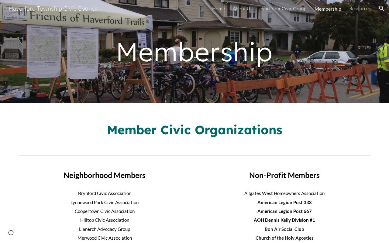
Use published contacts to connect with the proper organization, without transforming a civic list into a directory of private households.
Comparing Haverford Township Block Sources
Official records have a defined custodian, field set, date, and access rule. Commercial neighbor-finding products are unsourced compilations that can combine old addresses, inferred relatives, and data of unclear date. An official parcel card, recorded instrument, controlled voter list, or organization contact is usually more useful because it says exactly what the source records and what it does not.
| Official record route | Commercial compilation category |
|---|---|
| Identifies the custodian, field, retrieval date, and record limit. | May mix records from unknown dates and sources. |
| Lets a researcher check parcel geometry, document number, or published organization contact. | May imply a relationship or location without primary-record support. |
| Has a stated correction or request route. | Requires its own publisher correction process and cannot alter government records. |
For the complete address-by-address chain along a named road, use the Haverford Township street directory. The immediate-block method here remains focused on documented adjacent parcels and public community contacts.
Haverford Township Historic Block Maps
When a block question reaches beyond the modern parcel viewer, historic maps can test whether a lot, street pattern, or building footprint existed in the claimed period. Delaware County Archives has 1870 and 1875 county atlases, while County resources identify a 1909 atlas east of Ridley Creek, a 1913 atlas west of it, a 1947 Property Atlas of the Main Line, and a 1961 Main Line atlas. These sources use the regional vocabulary that often appears in older Haverford Township research.
Map evidence cannot establish every resident. It can help distinguish an actual address change from an incorrect modern assumption when paired with a deed legal description, plan, or dated directory entry. The County also lists aerial imagery through its viewer and historic aerial sources, offering an independent check on visible development rather than a substitute for a property record.
Limits on Haverford Township Neighbor Records
Records about a block have real privacy boundaries. Pennsylvania's Right-to-Know Law protects defined personal information. Court policies protect confidential filing data. The Address Confidentiality Program gives eligible participants a substitute address in participating government systems. Driver and vehicle data, utility information, and private delivery records are not open alternatives for locating a protected address.
A missing result can be a lawful limit, a date gap, a distinct municipality, or a parcel that is not actually adjacent. Haverford Township, Havertown, the Main Line, Haverford Borough, and Haverford College are not interchangeable research labels. Keep the municipal and parcel context visible before interpreting a name or map result.
Lawful use. Use Haverford Township neighbor records for a personal, lawful purpose and respect confidentiality protections. Never use information from a block search to stalk, harass, intimidate, or harm another person.